
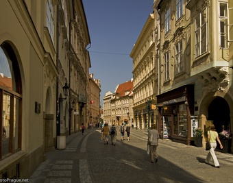
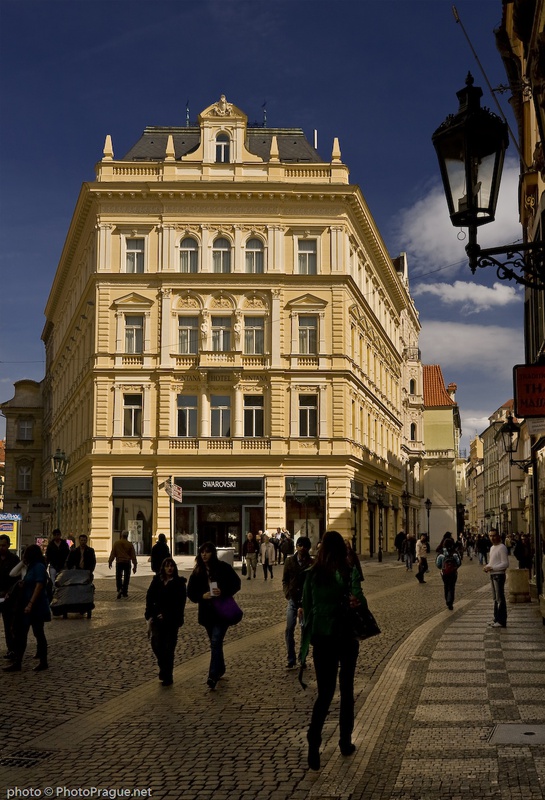
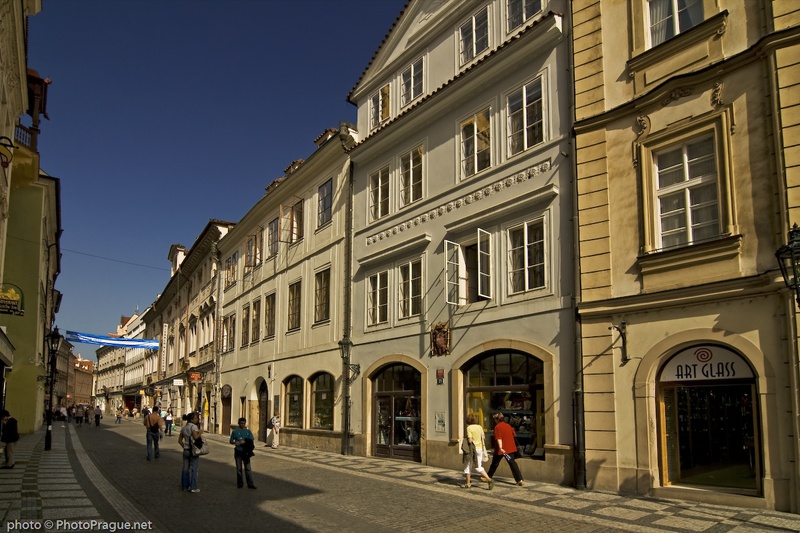
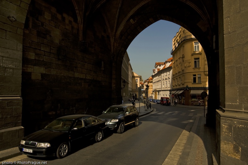
Celetná Street
*A street on "Královská Cesta" (Royal Way)
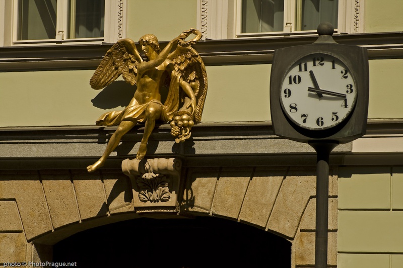
Significant photo
Fotogalerie

Info text
Celetná Street was known in the 14th century as "Caltnéř Street" – the caltnéřs were the manufacturers of a "woven" bun called "caltna". The street was part of "Královská Cesta" (Royal Road), along which Bohemian Kings
travelled to the Prague Castle. The street has maintained its medieval character to this day, thanks to few regulative interventions. In 2007, the renovated gas lights help to recreate the old Prague atmosphere.
SOUVISEJÍCÍ BODY
Poi