
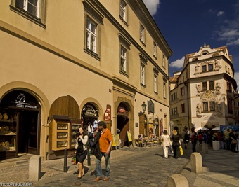
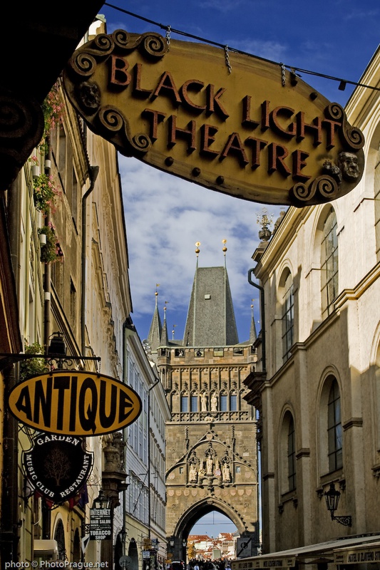
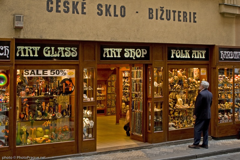
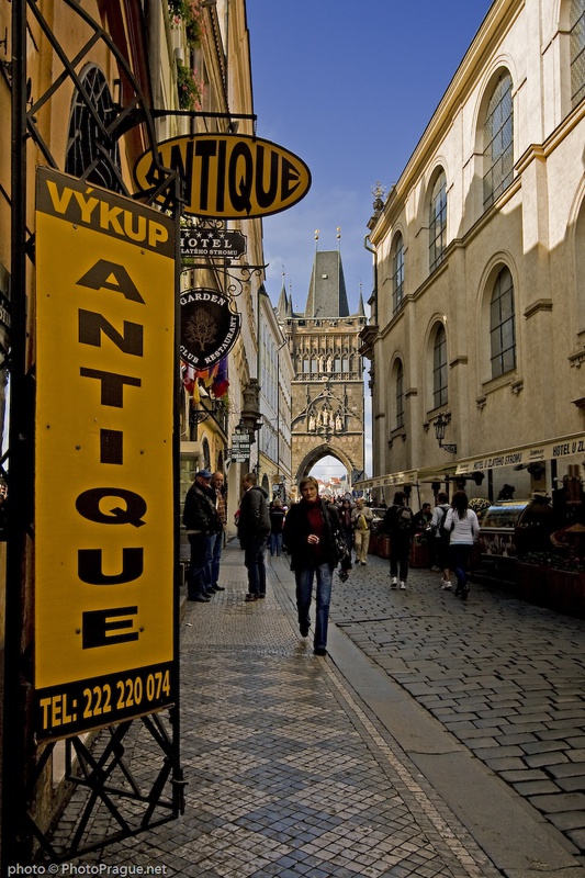
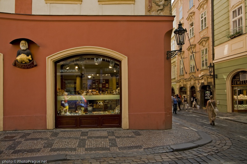
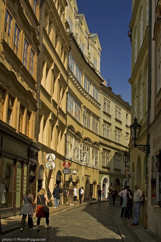
Karlova Street
*A street leading to the Charles Bridge
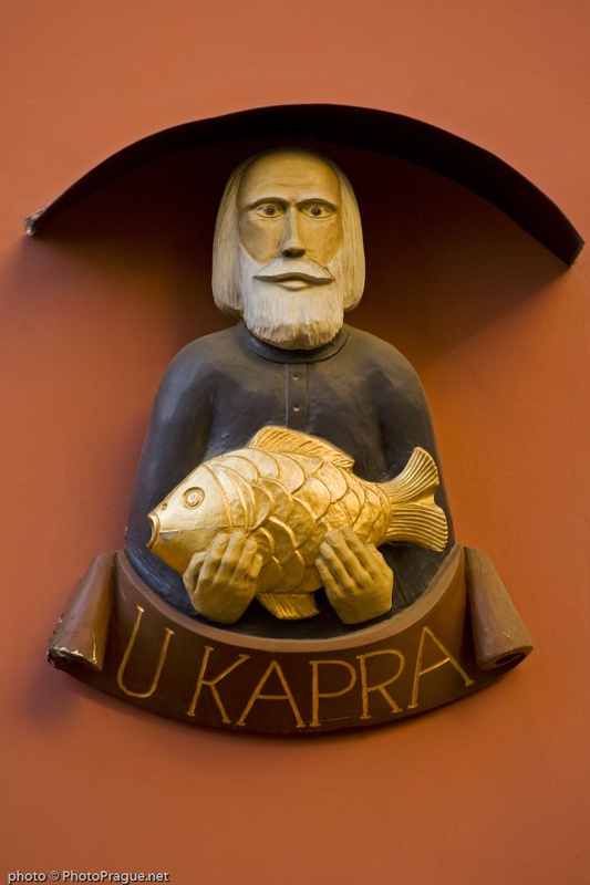
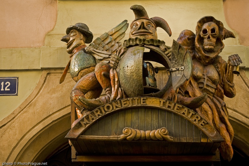
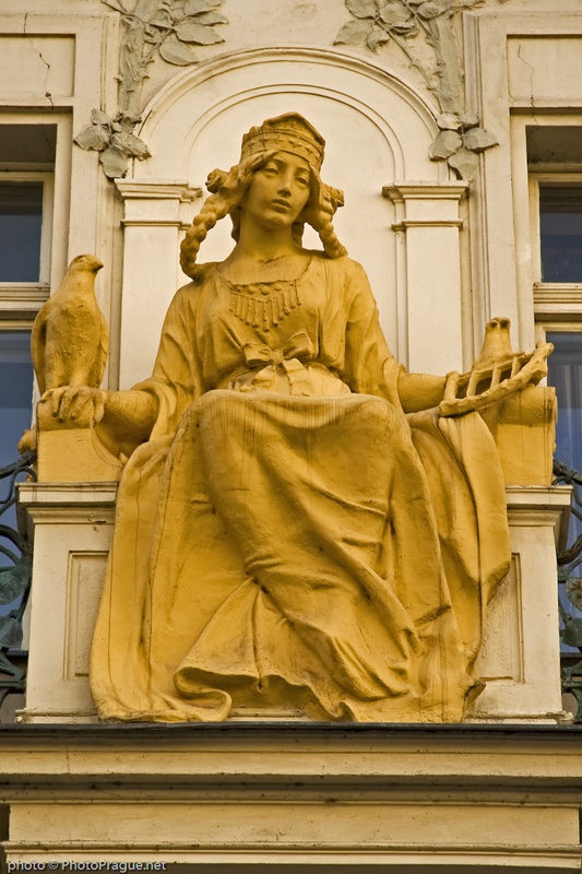
Significant photo
Fotogalerie
Info text
This is one of the busiest tourist streets in the Old Town. In the middle ages it was divided into three parts – that is why until today, it is full of unexpected breaks and turns. It´s only with the construction of the Charles Bridge in the middle of the 14th
century that it became the main artery of the Old Town. In the Baroque period, because of its proximity to the area of the Klementinum, it was called Jesuit Street until 1848, then it was, to the initiative of Karel Havlíček Borovský, renamed Karlova.
Kontaktní informace
| Ulice | Karlova ulice | Město | Praha 1 |
|---|